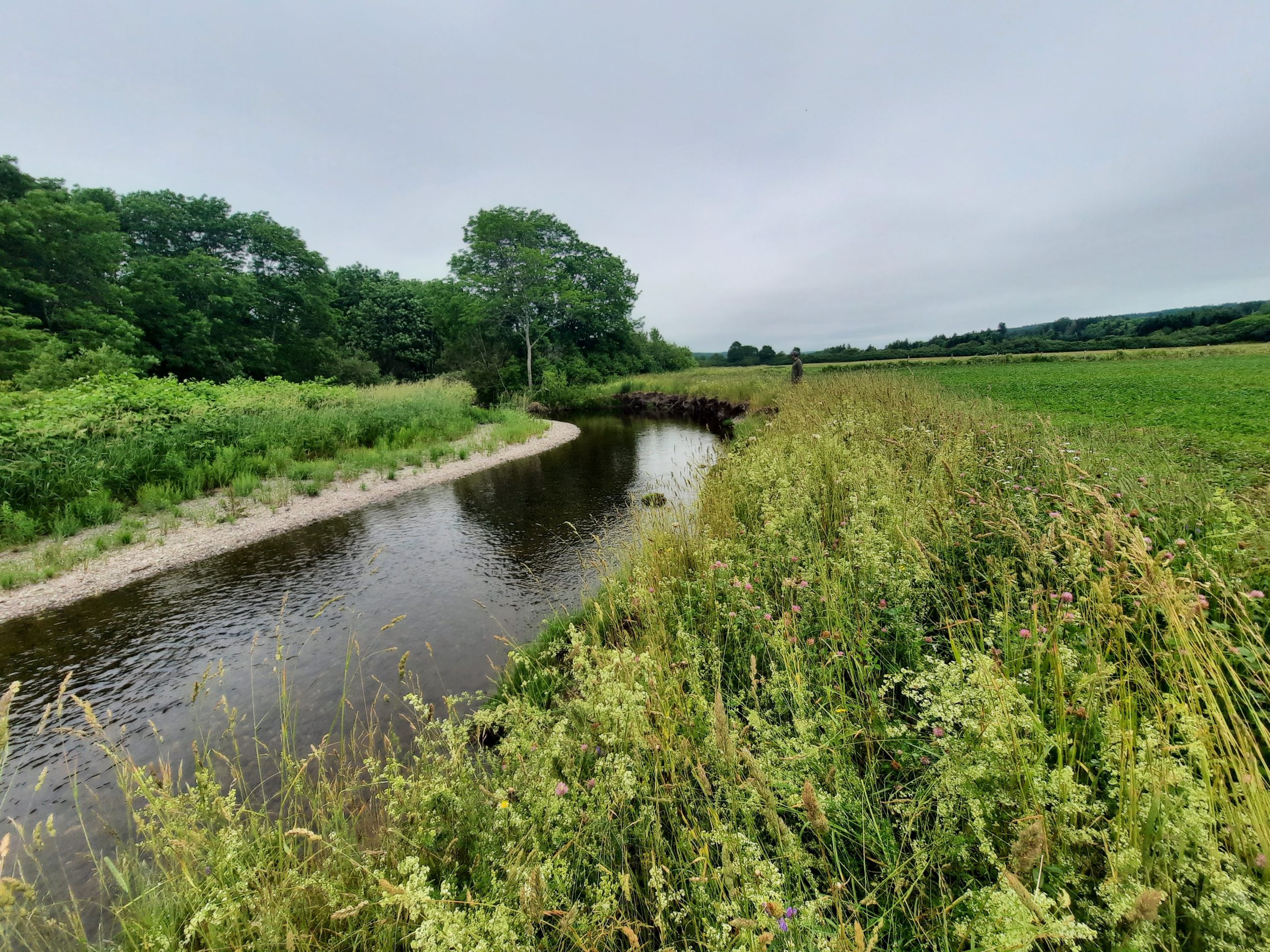
The South River watershed, in it’s entirety, encompasses approximately 190 meters squared. The watershed has been significantly altered from agricultural , forestry and milling activities that span from current day back to early European settlement in the area. One of the major impacts from human activities through the decades is the loss of riparian (stream bank) vegetation. The riparian zone is a critical component of the aquatic ecosystem and without a sufficient amount of trees, shrubs, and grasses taking root in the river banks and flood plains, results show severe consequences for aquatic life. Unnatural rates of bank erosion causing severe siltation, extreme fluctuations in water temperatures during summer months and the loss of vital food web inputs are just a few of the many impacts felt in the watercourses.
To address these issues, ARA has worked with local farmers, the Nova Scotia Salmon Association’s Adopt-A-Stream program and the N.S. Federation of Agriculture to develop streambank stabilization procedures and to promote the establishment of riparian zones through planting of several native tree species along watercourses small and large. The restoration projects completed in the South River have provided countless stewardship groups throughout the province with a template for restoring streams through agricultural areas.
In 2021, the ARA completed the “Atlantic Salmon Recovery & Conservation Plan for the South River Watershed”. It is important to notes that it would not have been possible to develop this planning document without the funding and technical support form the Nova Scotia Salmon Association’s Adopt-A-Stream Program. The document includes a step by step process to the recovery of self-sustaining aquatic ecosystems within the South River watershed.
2020
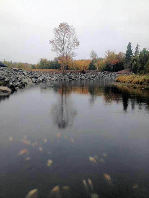
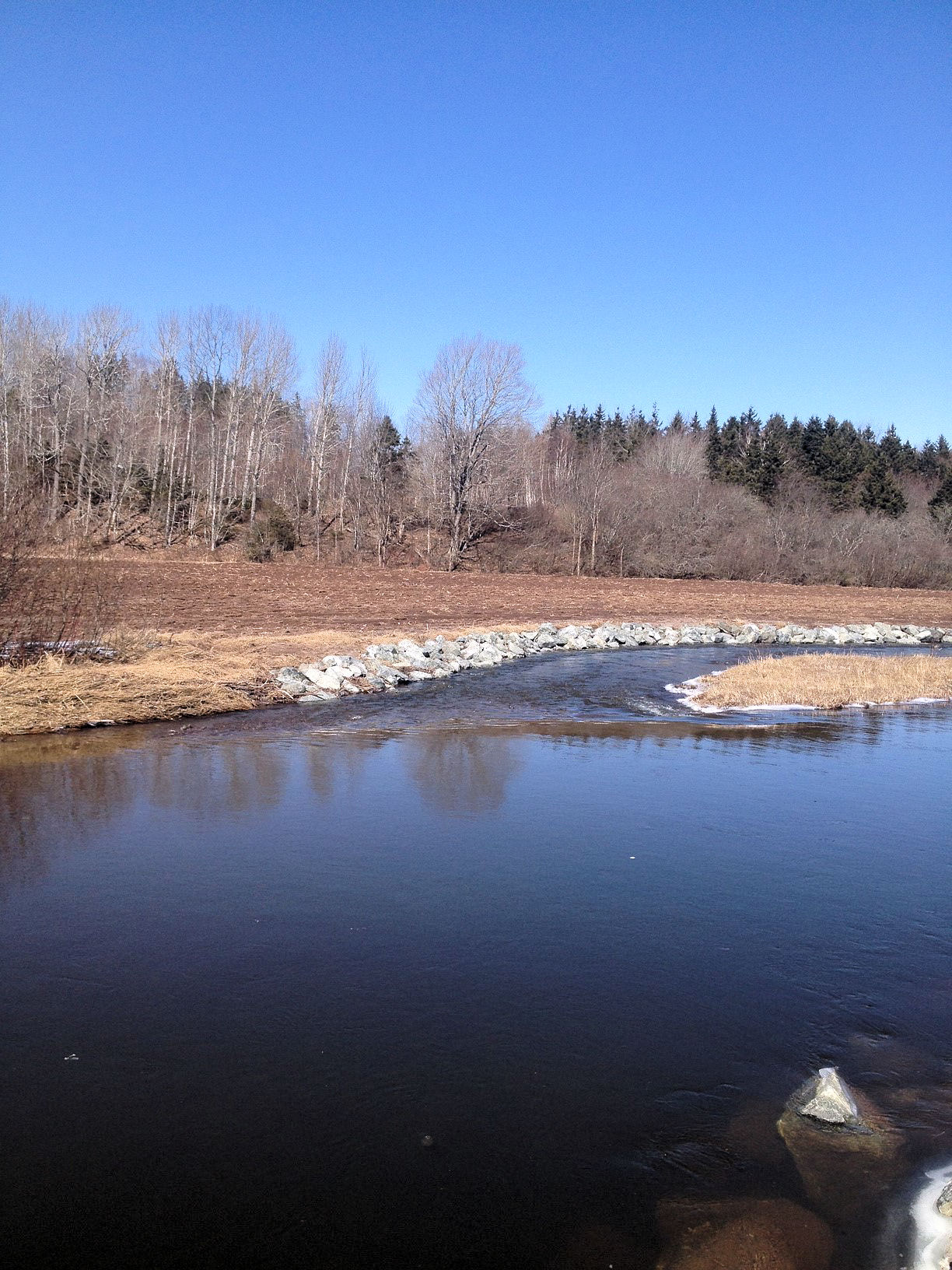
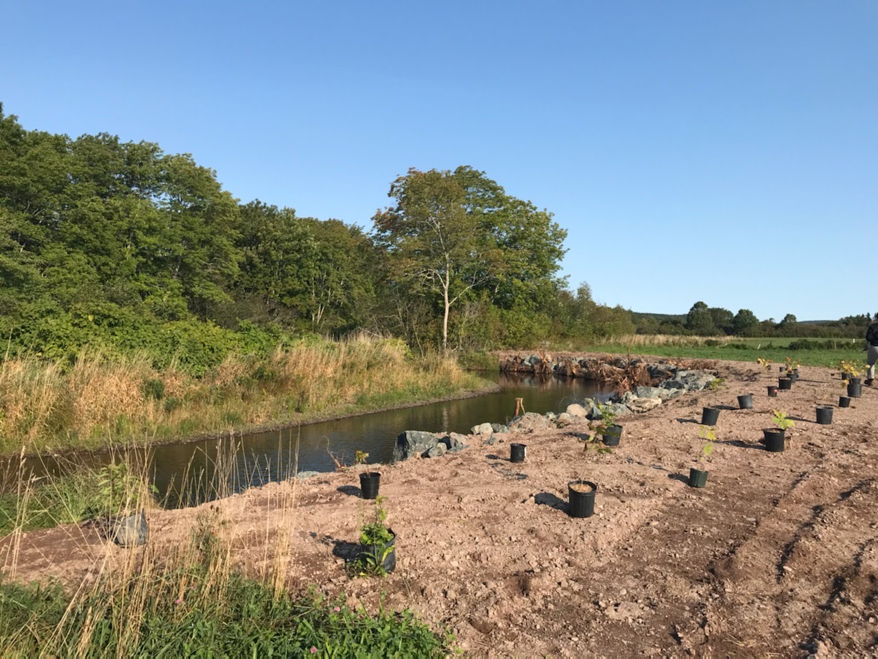
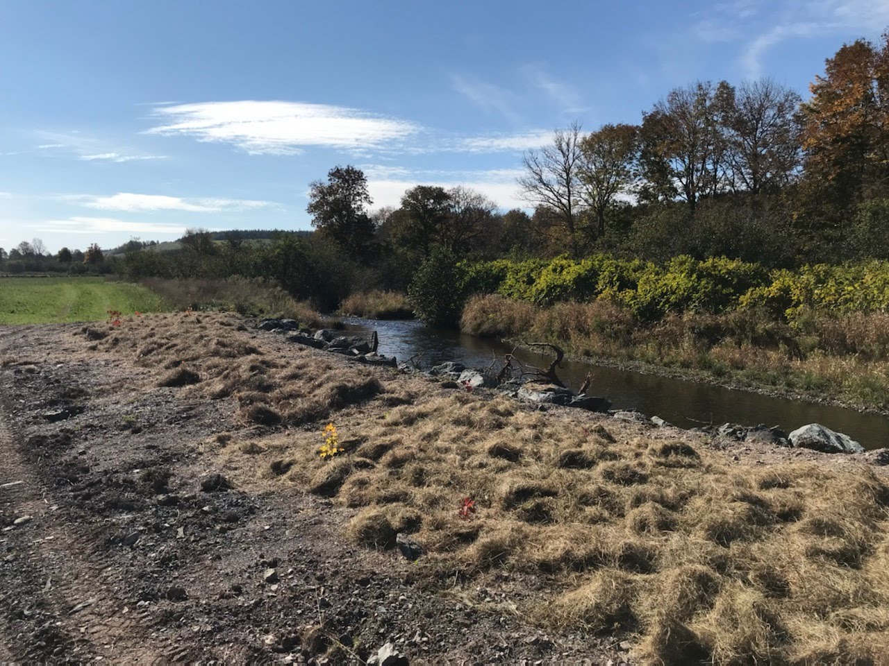
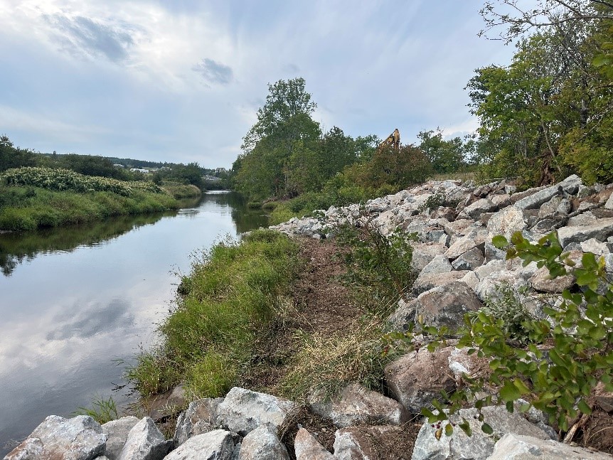
There were two 100-meter long banks stabilized along the South River main branch using a hard restoration method. This method uses armour stone rip rap to stabilize the soils on the riverbank and also incorporated tree planting of indigenous tree species and covering any exposed soils. The total area of habitat restored was 25,000 square meters.
2021
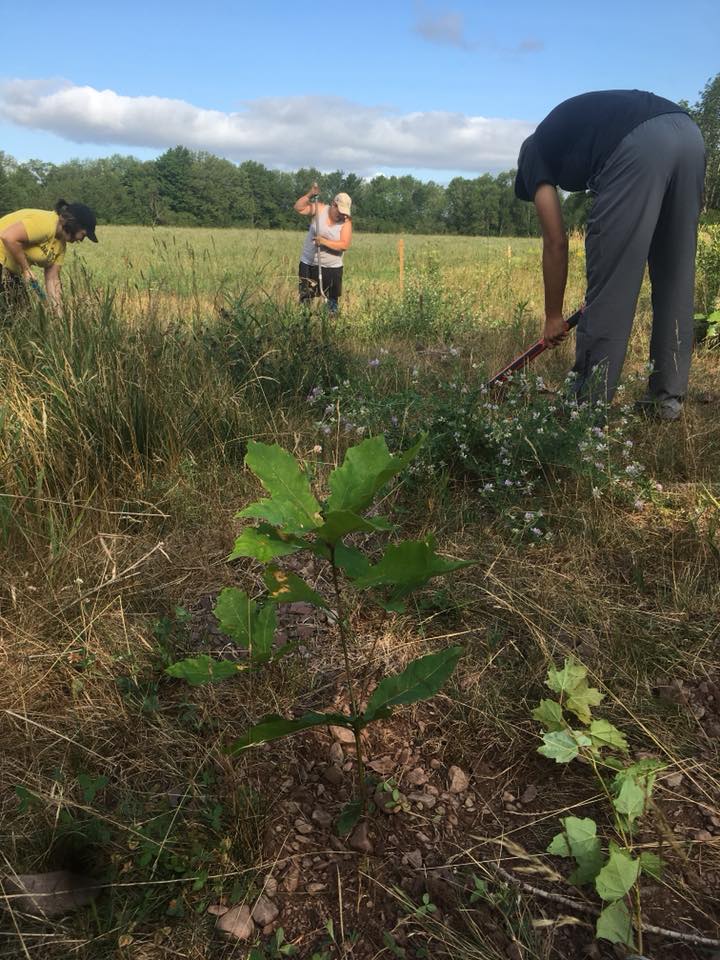
A 50-meter long erosion site was remediated using root wads and armour stone rock to stabilize the bank while also dissipating the downstream energy of the water. Along the same stretch of river bank, a riparian zone was determined and planted to create wooded buffer zones between the river and agricultural land. Another tree planting site was selected near the Lower South River Ball Field where over 100 trees were planted by ARA volunteers. The long-term benefits of this project will include improved shade and bank stability as well as creating habitats for a large variety of animals. Riparian zone forests can restore groundwater levels, withstand floods, and reduce soil and nutrient run-off.
2022
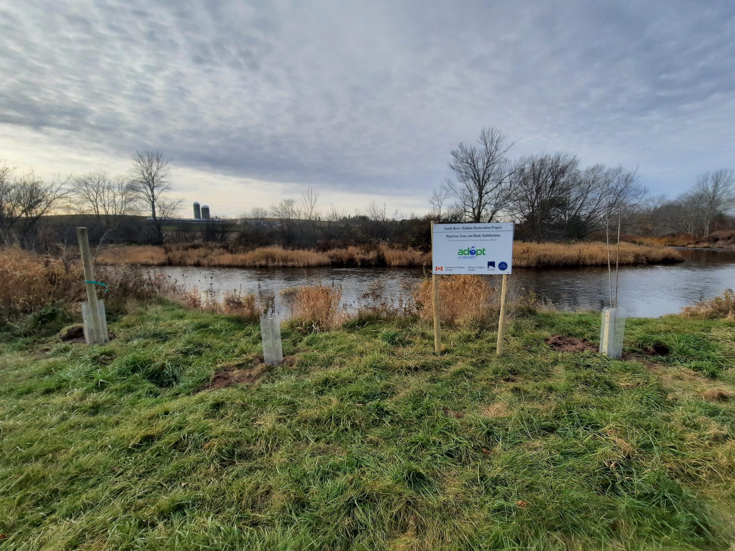
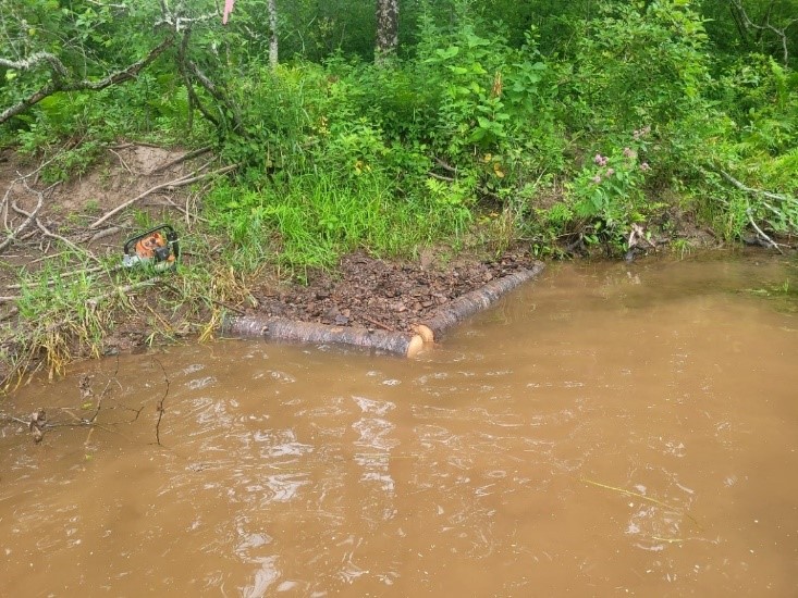
A large area through the lower and upper portions of the Pinevale Brook. The total area of restored habitat was 13,000 square meters with the installation of well-established instream restoration structures including digger logs, deflectors and rock sills. An additional 20,00 square meters of riparian habitat area was restored by planting 1,500 indigenous tree species. On the South River main branch, there was a total of 110 meters of riverbank stabilized using armour stone rip rap strategically placed then back filled with soils and smaller stone. After the machine work was completed, 1000 trees were planted, supported by stakes, nurtured with mulch and protected with caging installed to surround each tree.
2023
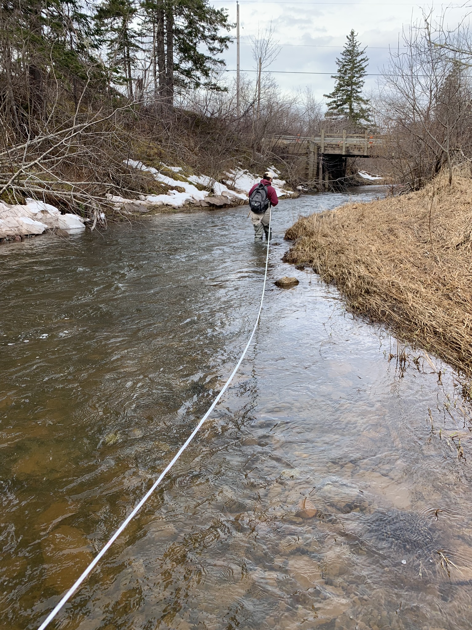
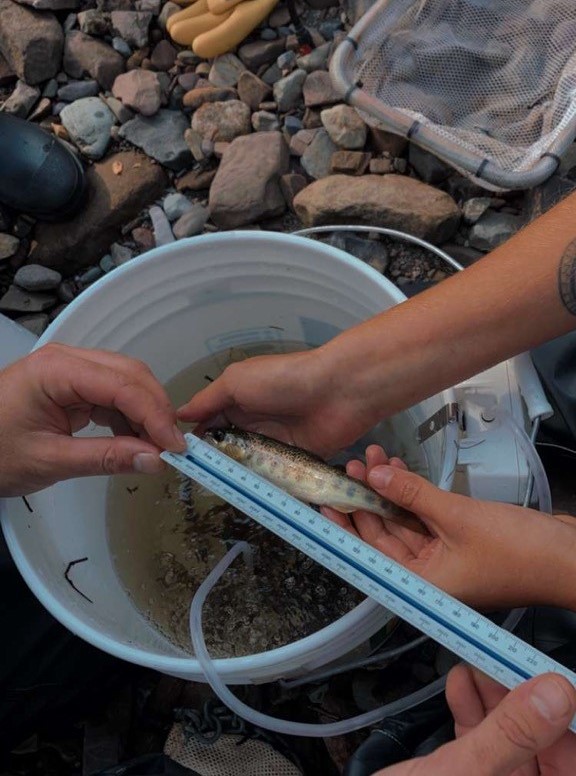
The Pinevale Brook post-restoration monitoring plan, year 1, was completed. Monitoring included habitat suitability index surveys acquiring physical habitat data, temperature data surveys for water quality data, electrofishing and redd count surveys to collect biological data. The report can be accessed by clicking the button below.
More Projects
To find out what other projects have been completed through the years you can click on any of the profiles below. A new page will open up to showcase either a different watershed in Antigonish County or ARA’s community connection projects.

